Tjörnedala
Created by Lukas Carpelan
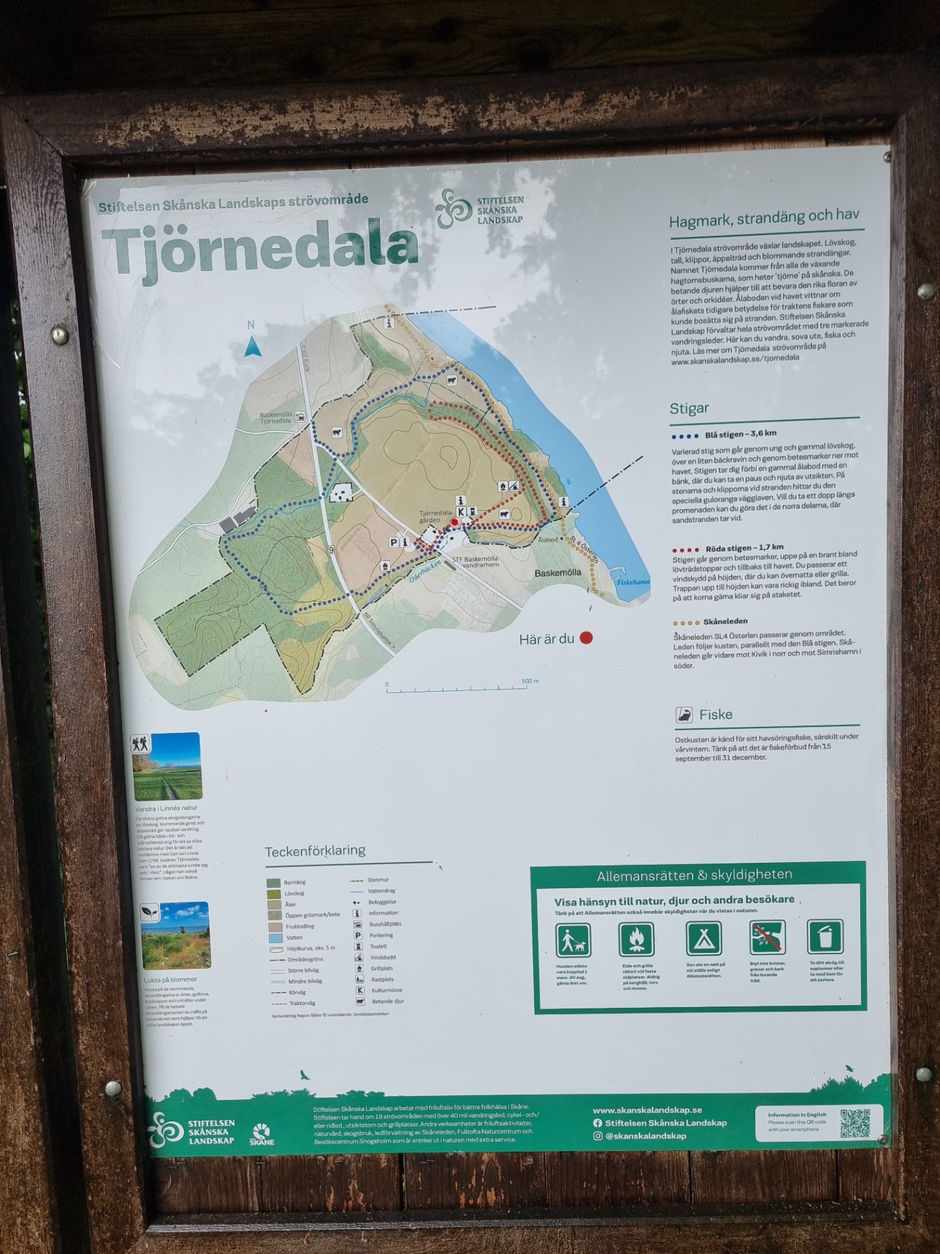
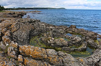
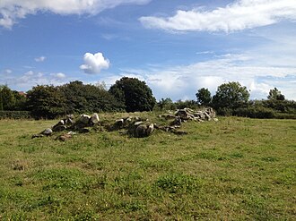
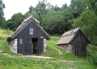
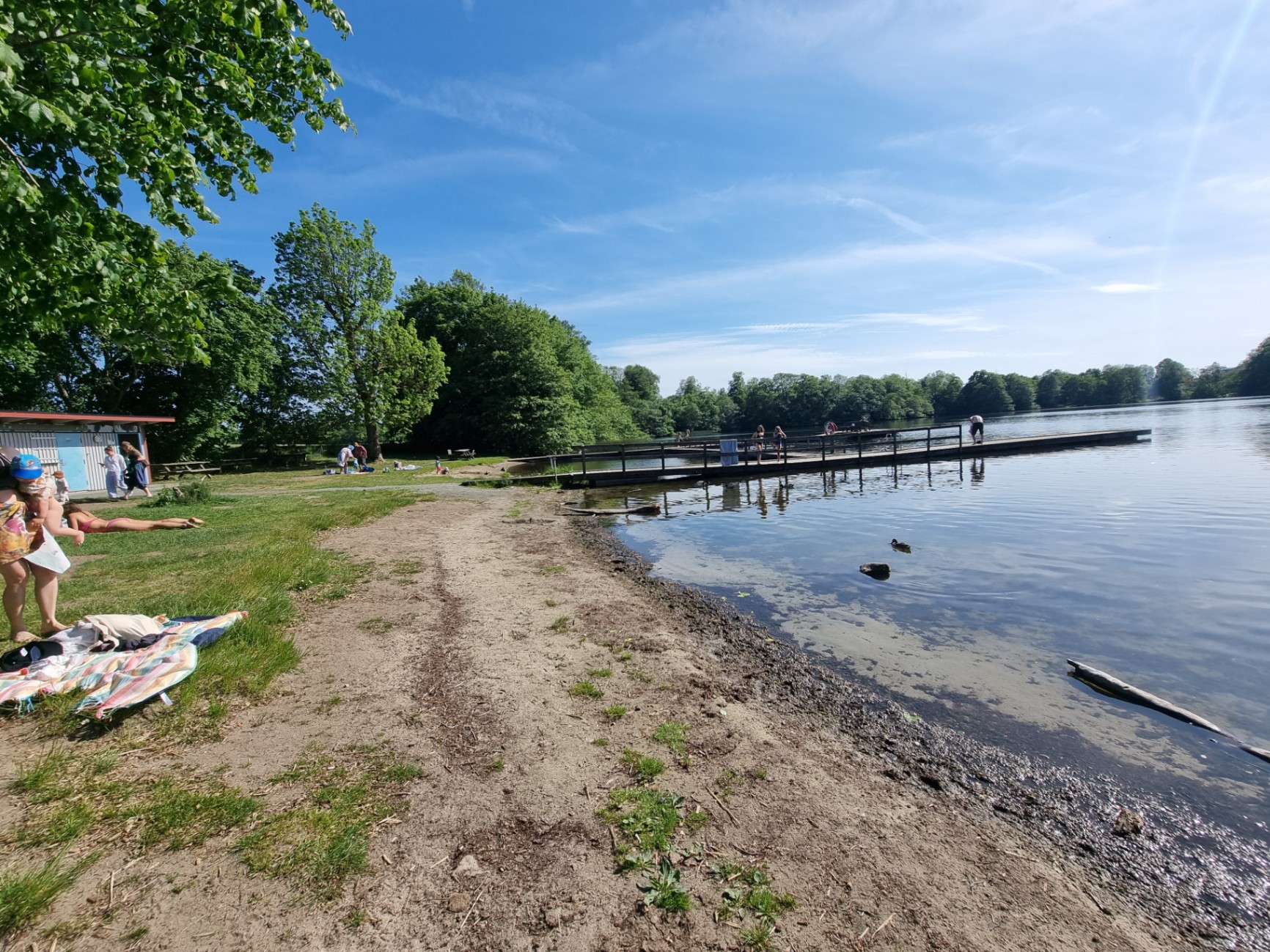
Hagmark, beach meadow and sea | Tjörnedala walking area changes the landscape. Deciduous forest, pine, cliffs, apple trees and flowering beach meadows. The name Tjörnedala comes from all the growing hawthorn bushes, which are called 'tjörne' in Scanian. The grazing animals help to preserve the rich flora of herbs and orchids. The eel hut by the sea bears witness to the former importance of eel fishing for the fishermen of the region who were able to settle on the beach. The Skånska Landscape Foundation manages the entire walking area with three marked hiking trails. Here you can hike, sleep out, fish and enjoy. Read more about Tjörnedala walking area at www.skanskalandskap.se/tjornedala SL 4 Österlen To of Paths Blue trail - 3.6 km Varied trail that goes through young and old deciduous forest, over a small stream ravine and through pastures down to the sea. The path takes you past an old eel hut with a bench, where you can take a break and enjoy the view. On the stones and rocks by the beach you will find the special yellow-orange wallwort. If you want to take a dip along the promenade, you can do so in the northern parts, where the sandy beach begins. Fiskehamn Red path - 1.7 km The path goes through pastures, up a steep slope among deciduous tree tops and back to the sea. You pass a shelter on the hill, where you can spend the night or have a barbecue. The stairs up to the hill can sometimes be steep. This is because the cows like to scratch themselves on the fence. Skåneleden Skåneleden SL4 Österlen passes through the area. The trail follows the coast, parallel to the Blue trail. Skåneleden continues towards Kivik in the north and towards Simrishamn in the south. de
Services
Nearby
More in Activities

Sources
Contributed by Lukas Carpelan. Licensed CC BY-SA 4.0.